PIE LTER Field Station Home
Data Files
Image Archive
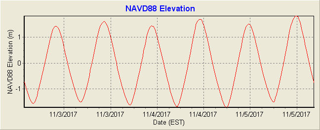
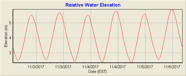
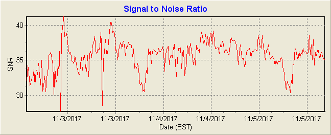
Sea Level Elevation at IBYC
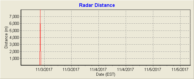
Sea level at the Ipswich Bay Yacht Club is measured with an OTT RLS (radar level sensor) that measures distance between the sensor and the surface of the water. Data is available in near real time and has not been QA/QCed.To convert elevation or distance from meters (m) to feet (ft) multiply by 3.28.
The North American Vertical Datum of 1988 (NAVD88) is the vertical control datum of orthometric height.
Relative water elevation is the absolute water depth beneath the IBYC Dock House.
Radar distance is the distance between the OTT RLS sensor and water surface.


This page was last modified on: